


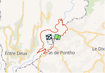

11,9 km | 24 km-effort


Utilisateur


Application GPS de randonnée GRATUITE
 SityTrail
IGN / Instituts géographiques
SityTrail World
Le monde est à vous
Randonnée Course à pied de 9,6 km à découvrir à La Réunion, Inconnu, Le Tampon. Cette randonnée est proposée par francejpp.
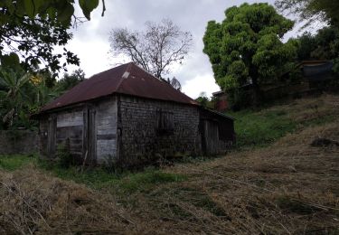
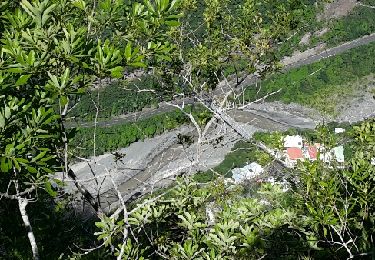
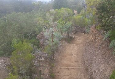
Départ du stade municipal de bras de Pontho descendre vers le chemin Dassy, pont de la liane, la riviere,îlet Canelle, la crête, la caver de la petite Ravine, remonté vers Pont d'Yves, redescente au stade
Marche
Marche
Marche
Marche
Marche

Marche
Marche
Marche
Marche